Attachments to RAG Submission
Attachment 1

Attachment 1

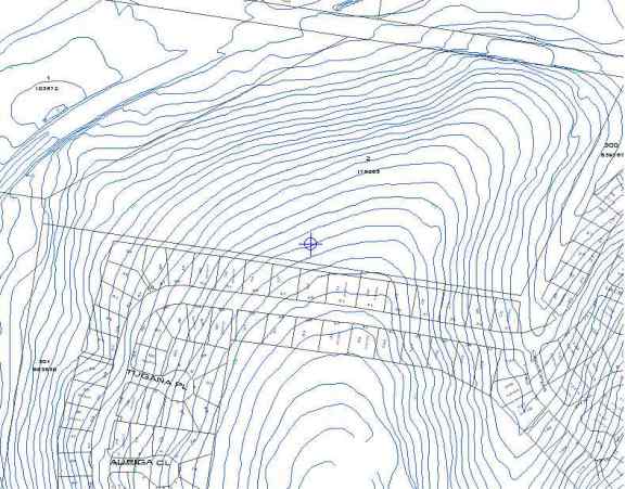
Diagram shows 1 metre contours north of Constellation Way when actually this area is flat as it was a Quarry some 20 years ago.
The fill which was removed was used for the road base for Port Drive to the port at Fisherman Islands.
This page is maintained by
The Rivermouth Action Group Inc
as a community service.
E-mail: activist@rag.org.au