These photo were taken from a video 8 tape made on 2 June 1995
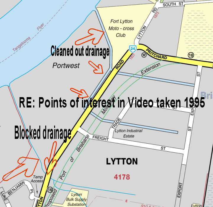
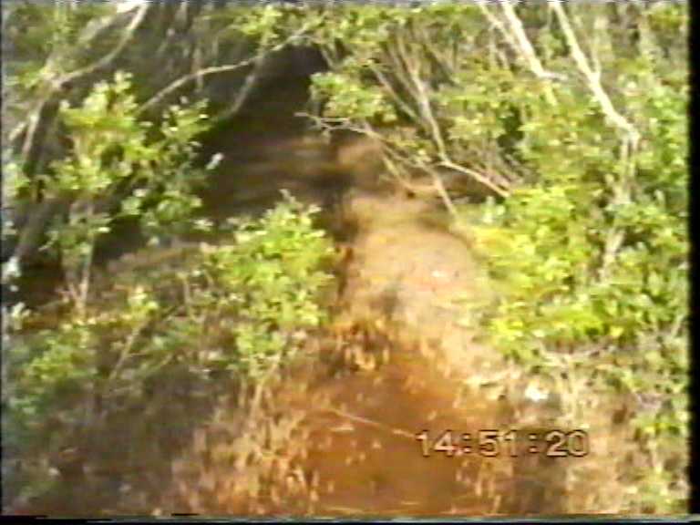
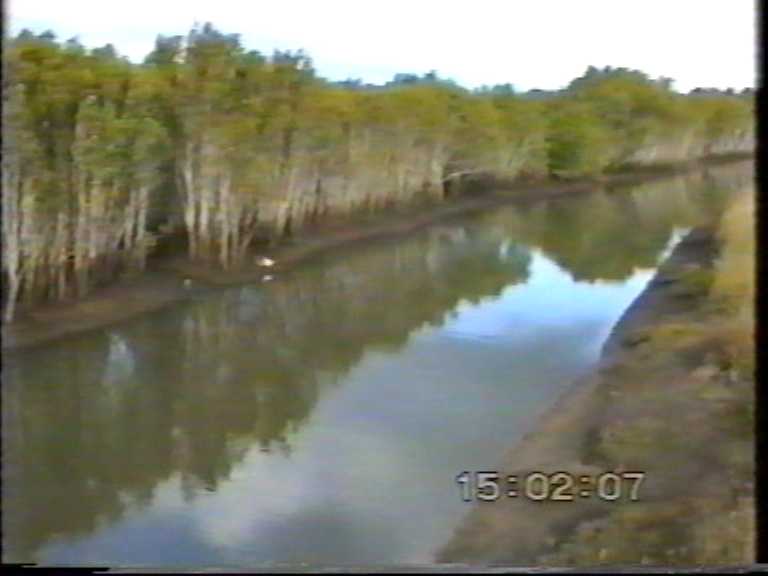
Photo above taken from Lytton Road looking east (upstream near
Drainage Channel)
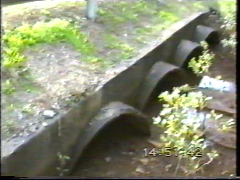
Photo above taken at Lytton Road east side of culverts.
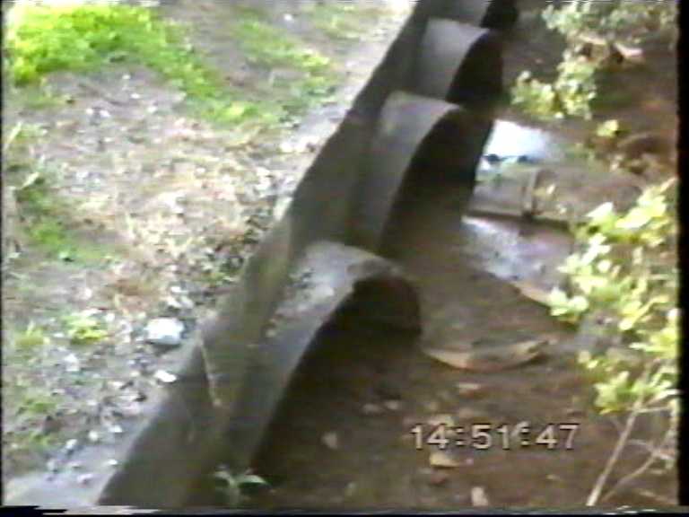
Photo above taken at Lytton Road east side of culverts.
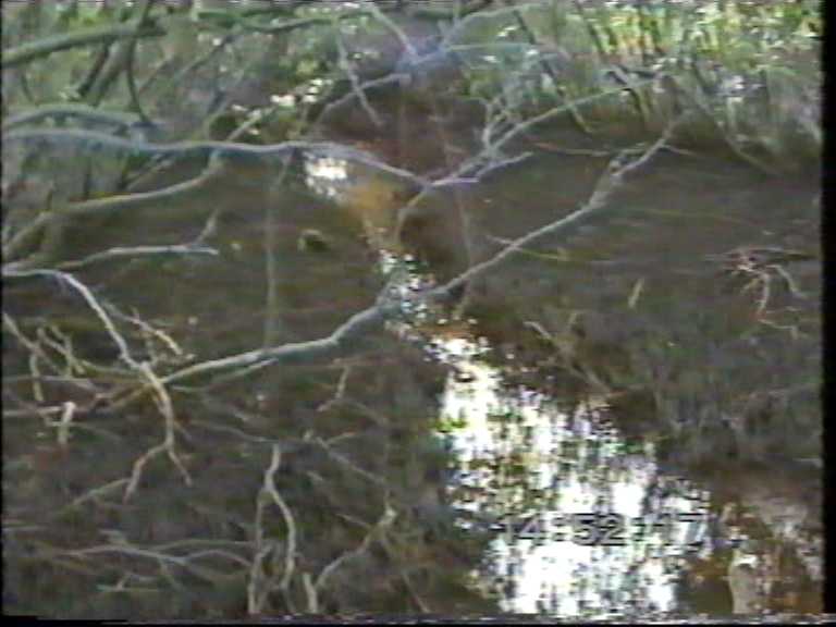
Photo above taken at Lytton Road west side looking towards
Brisbane River.
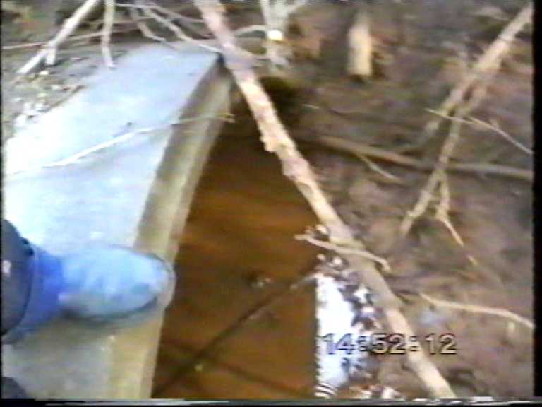
Photo above taken at Lytton Road west side of culverts.
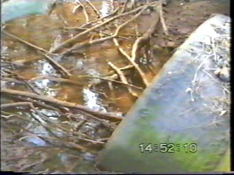
Photo above taken at Lytton Road west side of culverts.
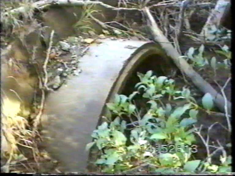
Photo above taken at Lytton Road west side of culverts.
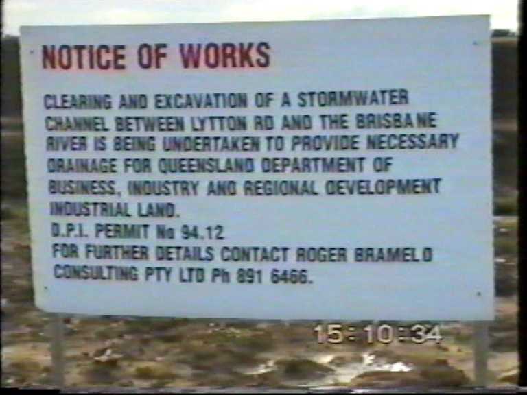
Queensland Government Department responsible or more correctly
irresponsible for draining and filling in wetlands.
This is the drainage channel Queensland Government dug to drain
their industrial land development .
Now revisit the first & fourth photos to see the state
of the drainage channel for residents.
Note the state of the amount of sediment within the culverts
pipes.
These two drainage channels are only about 650 metres apart.
I have more video footage which when processed will appear
on this web site to show decades of government neglect.
This page is maintained by
The Rivermouth Action Group Inc
as a community service.
activist@rag.org.au