Drainage ability under Burnby Street Hemmant
This is an exposure of the lack of maintenance to the
local drainage system.
(No document on this web site supports the following
statement at this time.)
I have read within the Brisbane City Council's Bulimba
Creek Flood Study that when Bulimba Creek is in flood and the flood
waters are restricted at the Rail Bridge at Hemmant the flood waters
can flow east to Main Drain and Lindum Creek on their way to the Brisbane
River.
Just what obstacles are there in flood waters path.
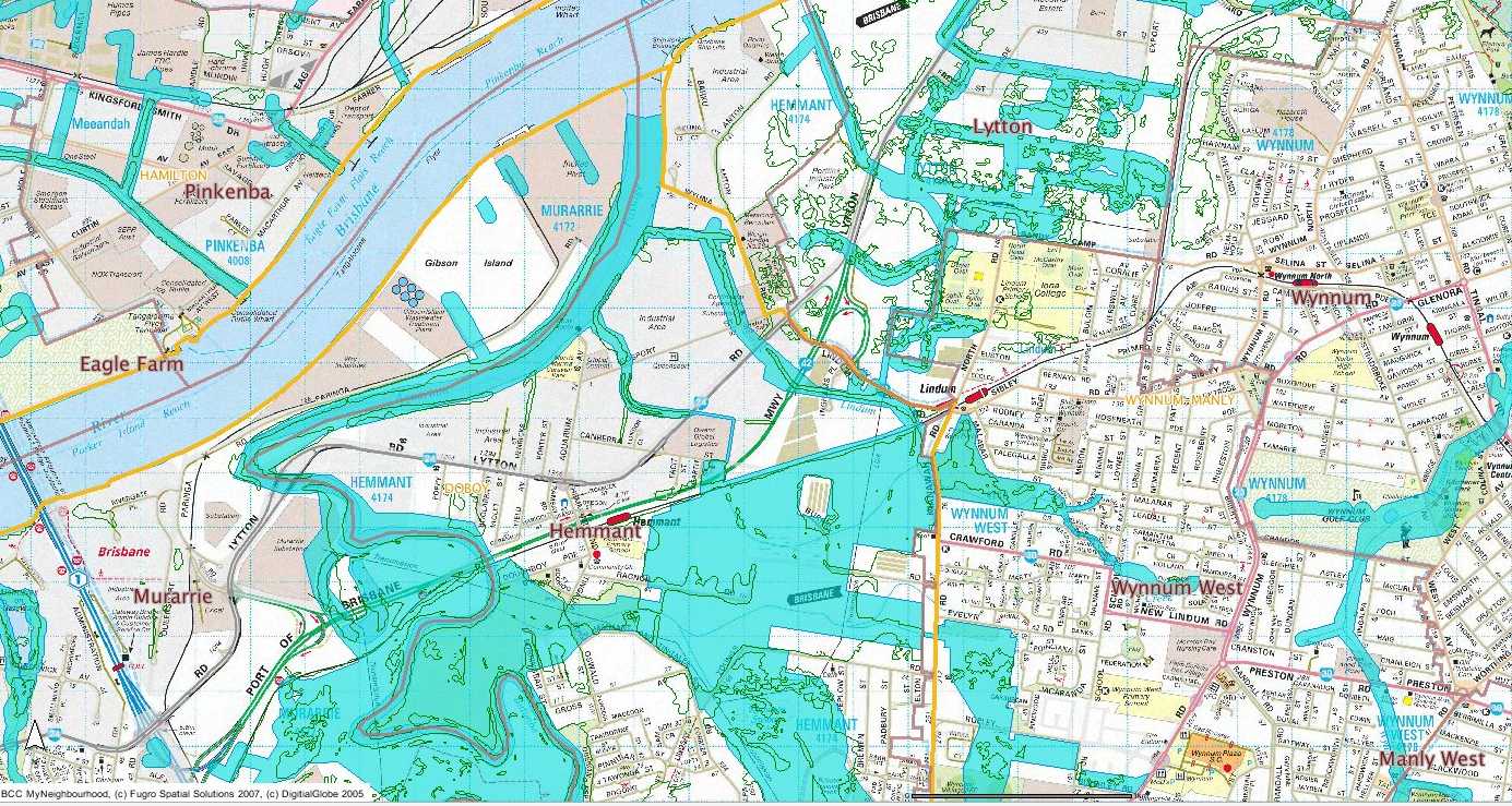
Brisbane City Council wetland corridor mapping for
the area

Nearmap of area showing Burnby Street, Hemmant with
white circle where culvert is situated.
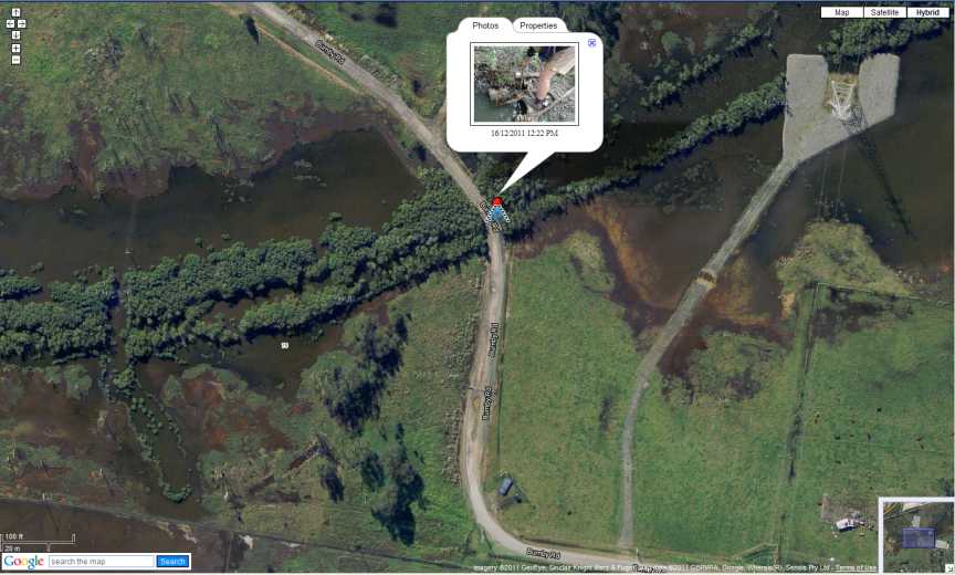
Google Earth hybrid map showing position from where
next photo below taken.
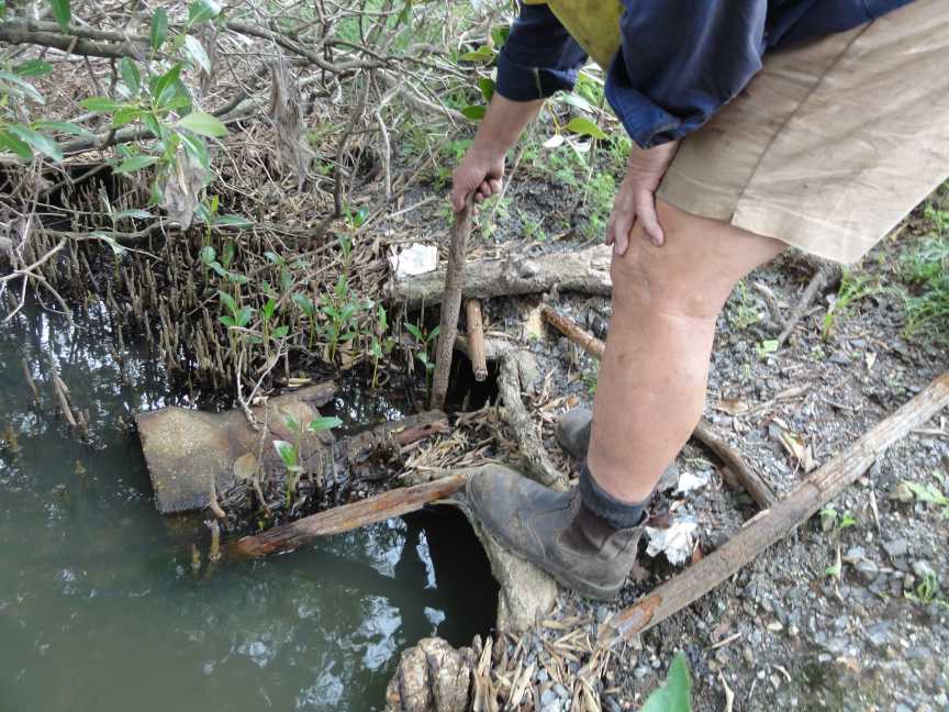
Eastern side of culvert Burnby Street culvert.
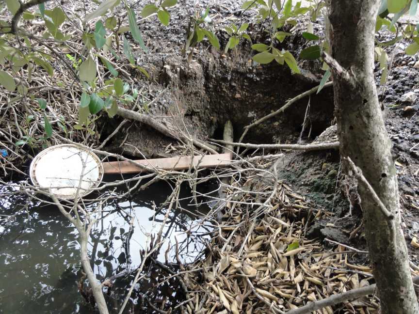
West side of culvert Burnby Street culvert.
After correspondence with Inghams Head Office Queensland
I was told that the drains were working properly and did not need to
be upgraded.
In the Bulimba Creek Flood Study I read several years
ago it said that when Bulimba Creek was in flood and the flood waters
were restricted by the rail bridge at Hemmant the flood waters could
flow east to Lindum Creek and flow under the rail line there.
That means that to flow to Lindum Creek the flood waters
must first pass under or over this private road owned by Inghams.
.jpg)
The measurement of the larger pipe.
.jpg)
The measurement of the smaller pipe.
.jpg)
The height of the road the bottom of the pipes about
1.15 metres.
.jpg)
Photo of the two drain pipes under road from the eastern
side.
.jpg)
Looking through the smaller pipe from eastern end.
.jpg)
Looking through the larger pipe from the eastern end.
.jpg)
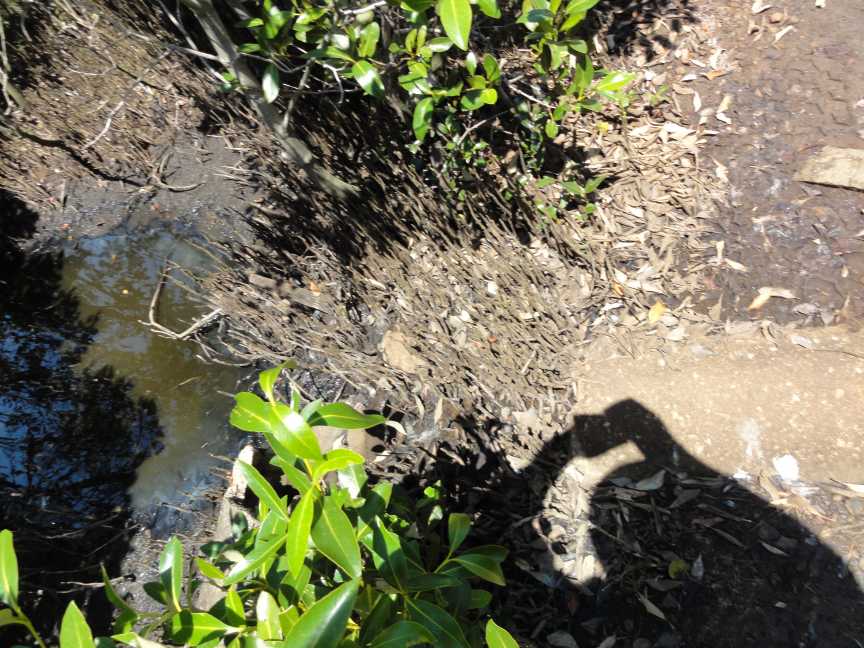
Eastern end of culverts.
.jpg)
Looking east from culverts towards Kianawah Road.
.jpg)
Photo of road with western culverts shown LHS of road.
.jpg)
Eastern side culverts shown at side of road.
The text from the flood study will appear when I have
the time to scan a copy for the web site.
Then let us not forget how the water flowing east enters
Lindum Creek.
BELOW
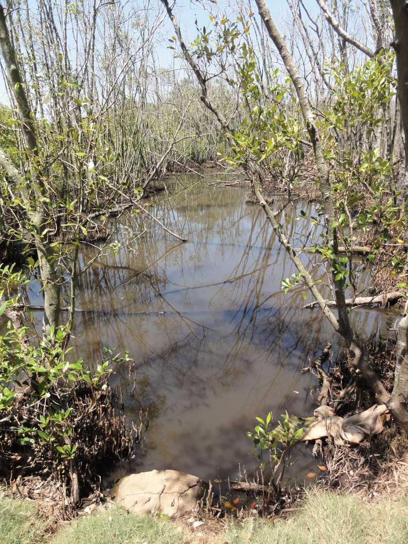
Photo above looking south towards Burnby Street from
access road to Energex power pylons.
.jpg)
And these culverts are on Brisbane City Council Land
west of and to adjacent to Kianawah Road.
This page is maintained by
The Rivermouth Action Group Inc
as a community service.
activist@rag.org.au