As discussed a summary of the levels at the Green Bridge area are:
· The road level of the motorway as it crosses the green corridor (Green Bridge) is 2.75 metres (2.77 metres at the outside edge line of the motorway)
· Green Bridge will have 1.7 metres clearance from the underside of the deck to the invert of the channel
· The motorway at Green Bridge is 0.74 metres above the Q100 flood line (0.76 metres at the outside edge line of the motorway)
· The Q100 line in the vicinity of Green Bridge is 2.01 metres.
Further to our discussions our designers have provided more detailed information on the flood levels for our project:
Flood levels for the PoBM upgrade project are based on a 100yr ARI 'creek or waterway flooding' event within Bulimba Creek, coincident with a 20yr ARI 'storm surge' event propagating up the Brisbane River.
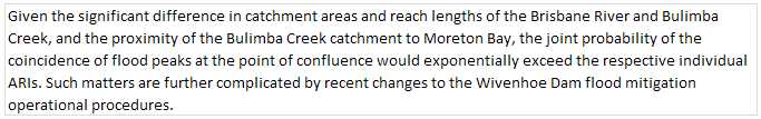
The joint probability of coincident peak flooding within the Brisbane River and Bulimba Creek catchments does not form part of scope of this project. However, we offer the below commentary based on general hydrologic / hydraulic principles.
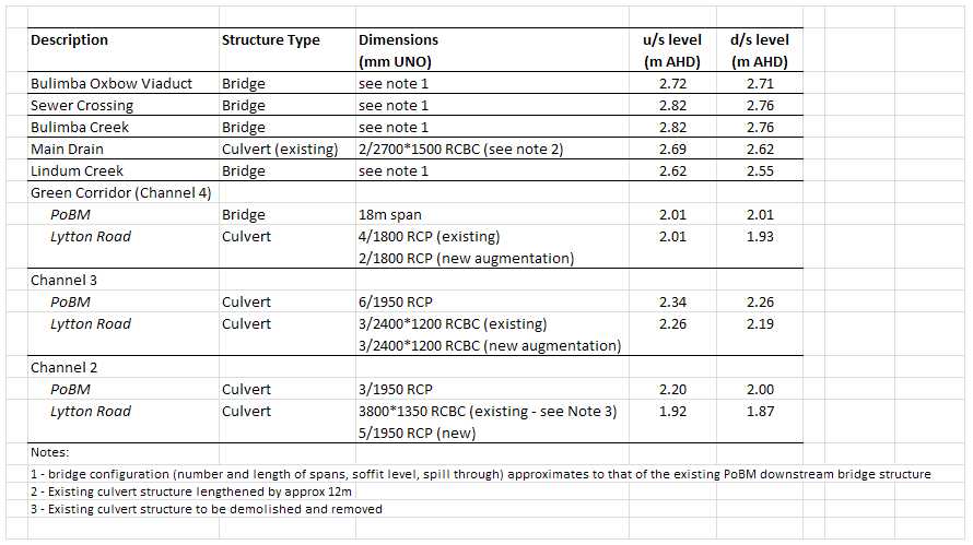
Tabulated below are the draft final flood levels and structure sizes.